Cabin clearing
Generated stand-in
Stor-Elvdal family cabin archive
A living tribute to the cabin: photos, weather, animal sightings, sky notes, family workdays, and local history gathered in one durable place.
Photos
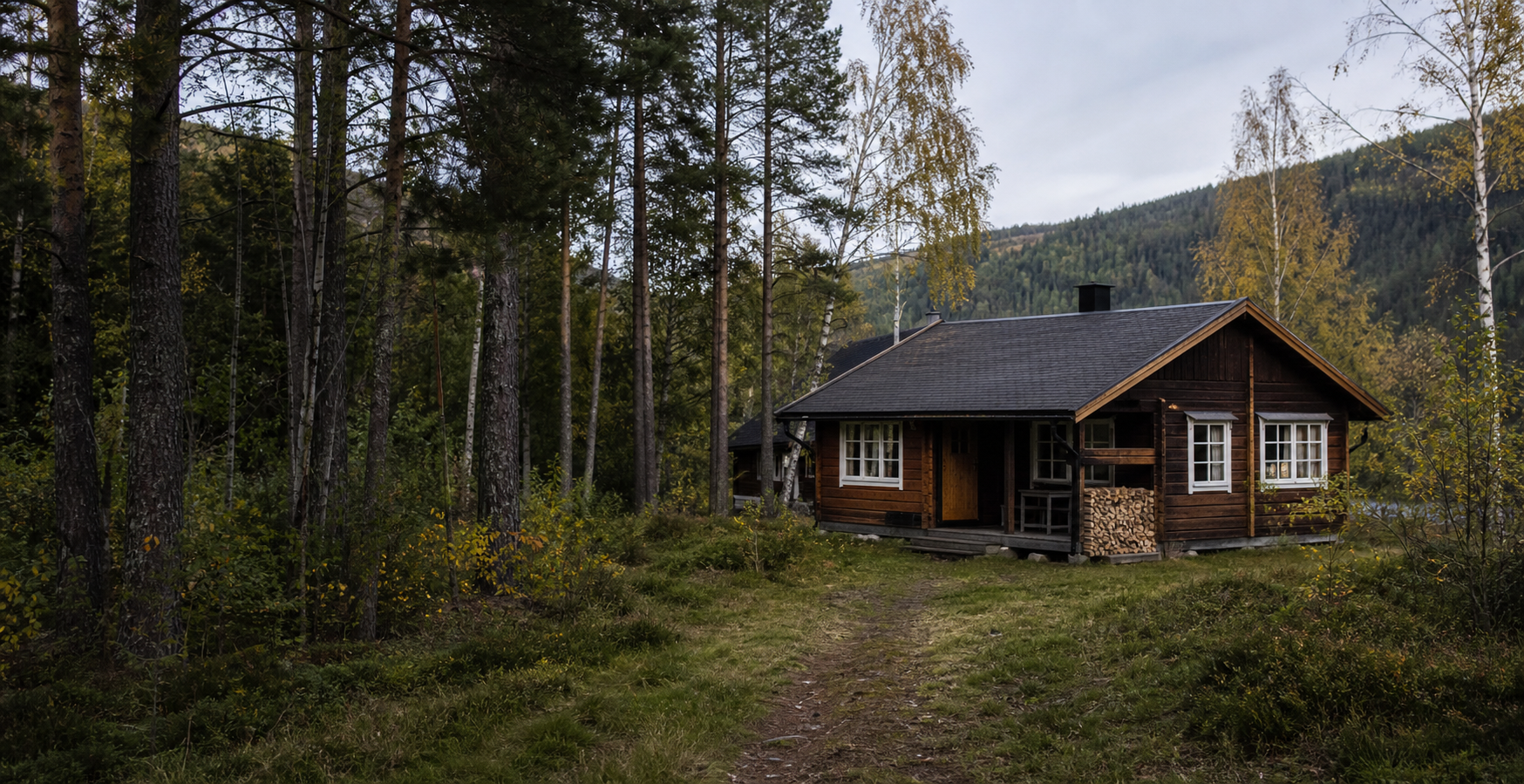
Google Photos access is not available in this session, so this first version keeps explicit slots for real photo imports and uses one generated stand-in image.
Generated stand-in
Awaiting Google Photos export
Ready for uploads
Timeline
Log temperature, snow depth, moon phase, and visible planets from each cabin visit.
Record returning birds, animal tracks, first open water, and thaw observations.
Capture warm days, thunderstorms, berries, insects, and family projects outside.
Save aurora notes, meteor showers, frosty mornings, and the last hikes before snow.
Local history
The page starts with verified regional context and can later grow into family-written stories, maps, scanned documents, and oral history.
Opphus is one of the southern basic statistical areas in Stor-Elvdal, close to the Glomma valley corridor.
Stor-Elvdal sits in central Osterdalen, with Rorosbanen and national road 3 following Glomma as key routes.
Forestry, timber processing, farming, and cabin life are central threads in the municipality history.
Koppang has long had to account for Glomma flooding, and the modern settlement grew after the Rorosbanen station opened in 1875.
Historical notes are based on Store norske leksikon entries for Stor-Elvdal and related places.